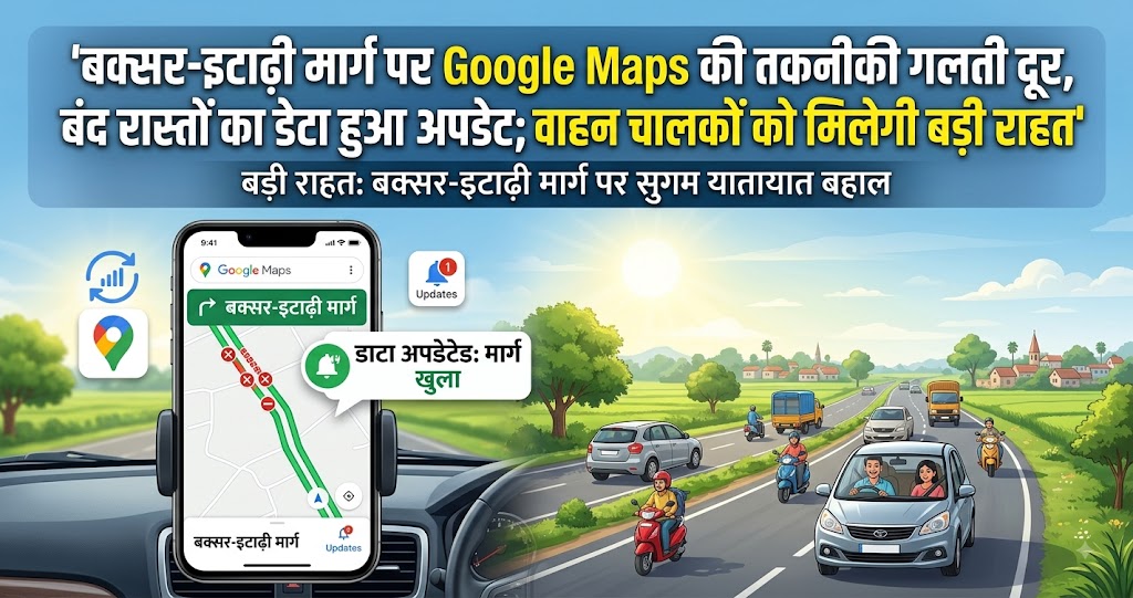
Google Maps Error Fixed on Buxar-Itarhi Route, Data on Closed Roads Updated; Major Relief for Vehicle Drivers
Buxar, Bihar: In an era when people increasingly rely on technology for navigation, drivers travelling on unfamiliar roads in Buxar can now expect relief from the confusion caused by outdated Google Maps information. Google Maps has reportedly corrected a technical error and updated its road data after routes that had remained closed for more than two months continued to be shown as accessible.
The issue had caused considerable inconvenience to local residents as well as drivers arriving from other areas. Many motorists following Google Maps directions would reach closed roads and then have to turn back and search for alternative routes.
The problem has now been addressed after sustained efforts to highlight the issue and communication with Google Maps regarding the actual condition of the roads.
Old Railway Crossing Closed on May 30
The route from Buxar district headquarters toward Itarhi and Sikaroul previously passed through Level Crossing Gate No. 70, located east of Buxar railway station under the Danapur Railway Division.
The approximately 160-year-old railway crossing was permanently closed on May 30. Following its closure, traffic was diverted to a newly constructed road overbridge located a short distance away.
Residents initially expected the new overbridge to provide a smooth alternative and eliminate dependence on the old railway crossing.
However, the situation changed within a few days.
Road Overbridge Damaged Within Seven Days
Only seven days after the railway crossing was closed, the newly constructed road overbridge also suffered serious damage. On June 5, the ROB was closed to traffic for repairs.
With the old railway crossing permanently closed and the new overbridge also unavailable, motorists were left with limited options.
Despite these developments on the ground, Google Maps continued to recommend both routes to people travelling toward or from Itarhi, Sikaroul, Dhanasoin, Dinara and Sasaram.
Outdated Google Maps Information Created Confusion
The continued display of the old routes on Google Maps became a major problem for drivers unfamiliar with the area.
Motorists who relied entirely on digital navigation often followed the directions and reached the closed routes. Only after arriving at the location did they discover that the road was no longer usable.
They then had to turn around and search for another route. This resulted in wasted time and fuel and, in some cases, created additional traffic pressure on surrounding roads.
Greater Difficulty for Drivers From Outside the Area
Local residents generally had some knowledge of the road closures, but drivers arriving from other districts or states faced greater difficulties.
People travelling to Buxar for the first time typically depend heavily on Google Maps. If a closed road is shown as open, they may continue toward it without realizing that traffic has been diverted.
The problem becomes more serious for heavy vehicles and trucks, which cannot easily turn around on narrow roads or in congested areas.
Importance of Accurate Digital Maps
Digital mapping has become an essential part of modern transportation. Taxi drivers, truck operators, delivery personnel and long-distance travellers routinely use navigation platforms to identify roads and plan journeys.
For this reason, information about road closures, newly constructed bridges, diversions and route changes needs to be updated promptly.
The Buxar incident demonstrates how important it is for digital mapping information to remain synchronized with actual ground conditions.
Relief Expected for Vehicle Drivers
Following the update of the Google Maps data, motorists should now receive more accurate information about the closed routes and available alternatives.
Drivers travelling between Buxar and areas such as Itarhi, Sikaroul, Dhanasoin, Dinara and Sasaram should be able to select alternative routes before beginning their journey.
This will be particularly useful for people unfamiliar with the local road network.
Impact on Traffic Management
Accurate road information is important not only for individual travellers but also for traffic management.
When a large number of vehicles reach a closed road and are forced to turn back, congestion can build up on surrounding routes.
Wrong navigation directions can therefore contribute to unnecessary traffic jams. Accurate digital information can help drivers choose the correct route in advance and reduce such pressure.
Important for Commercial and Heavy Vehicles
Buxar is connected to several surrounding areas through routes used by commercial and freight vehicles. Accurate road information is particularly important for trucks and other heavy vehicles.
If a large vehicle reaches a closed road, turning around can be difficult. Such situations can block roads and create additional congestion.
Updating Google Maps therefore has significance not only for private motorists but also for commercial transportation.
Need for Timely Digital Updates
The situation in Buxar highlights the importance of promptly updating digital maps whenever a road or bridge is closed.
If a route remains closed for an extended period, the information should be clearly reflected on navigation platforms so that travellers can choose alternatives before reaching the affected location.
Better coordination between local authorities, road agencies and digital mapping platforms could help prevent similar problems in the future.
Benefits for Local Residents
The updated information will also benefit residents who regularly travel between Buxar and nearby areas for work, education, business and other purposes.
Correct navigation information can help them plan journeys more efficiently and avoid unnecessary detours.
It can also reduce travel time and fuel consumption by directing motorists toward usable roads.
Technology Must Match Ground Reality
Digital technology has made travelling considerably easier, but its usefulness depends on the accuracy of the information provided.
The Buxar incident demonstrates the need to maintain coordination between digital systems and real-world conditions. If road closures are not reflected on navigation platforms, technology can become a source of confusion rather than convenience.
Information about road construction, repairs, traffic diversions and closures should therefore be communicated to digital mapping services as quickly as possible.
Continuous Updating Is Necessary
Updating the map once is not enough. Road conditions can change again, so digital information needs to be monitored regularly.
If the road overbridge is reopened after repairs, that information should also be updated on navigation platforms. Similarly, if an alternative route is closed or traffic restrictions are imposed, the digital map should reflect the change.
Continuous updates can make navigation services more reliable for residents and visitors.
The Google Maps navigation problem on the Buxar-Itarhi route has reportedly been resolved, providing relief to motorists who had been facing confusion for more than two months.
The old Level Crossing Gate No. 70 was permanently closed on May 30, while the newly constructed road overbridge was damaged and closed on June 5. Despite these developments, Google Maps continued to show the old routes as available, causing drivers travelling between Buxar, Itarhi, Sikaroul, Dhanasoin, Dinara and Sasaram to reach closed roads.
Following efforts to highlight the problem and communication with Google Maps, the relevant road data has now been updated.
The development is expected to benefit local residents, visitors and commercial vehicle operators by helping them identify usable routes in advance. More importantly, the incident underlines the need for timely coordination between authorities responsible for roads and digital navigation platforms.
In an age of increasing dependence on technology, keeping digital maps synchronized with ground realities is essential. Timely updates about road closures and diversions can save travellers time and fuel while reducing unnecessary traffic congestion and inconvenience.