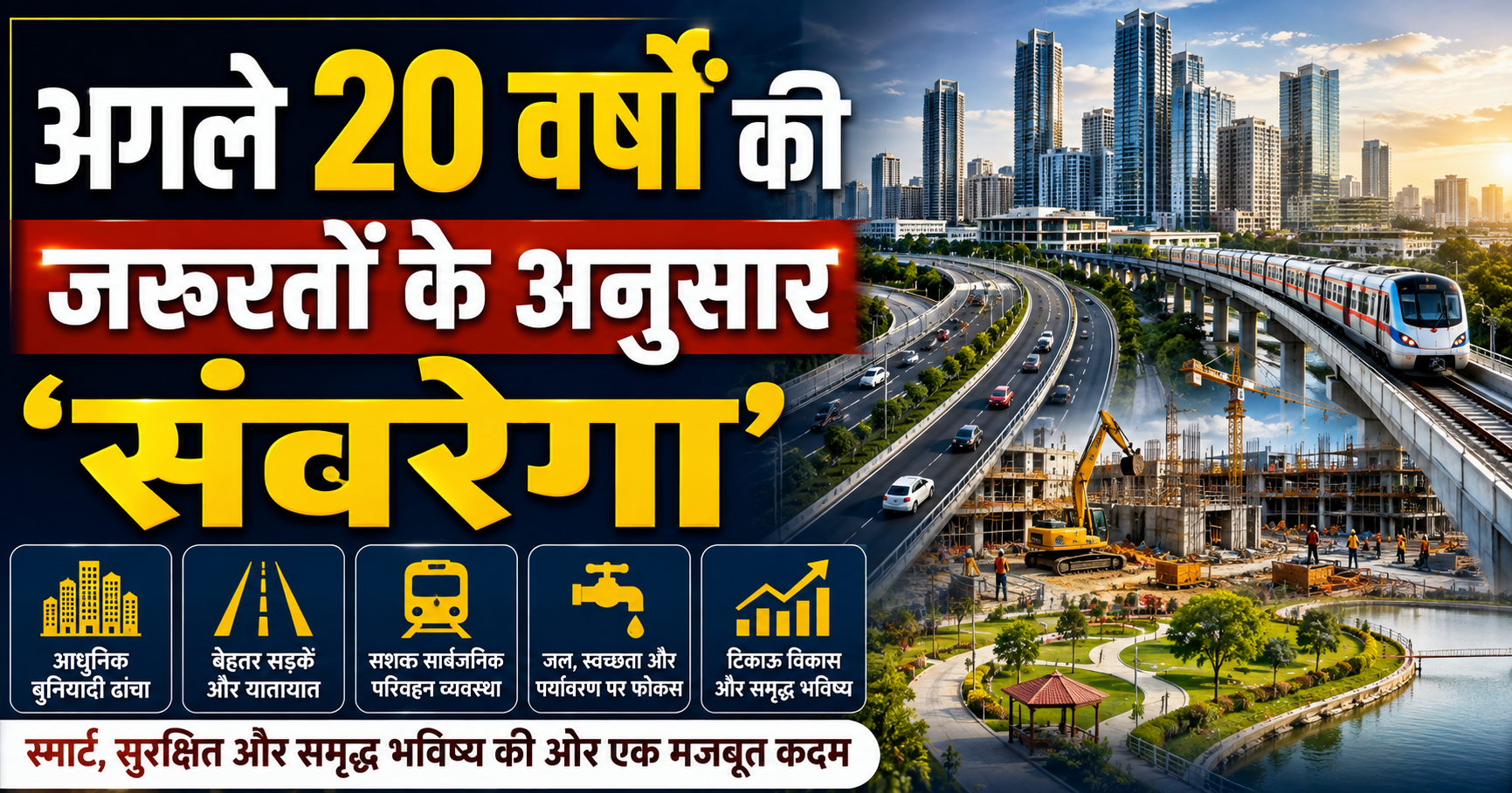
'Greater Bhagalpur' to Be Developed According to Demands of the Next 20 Years GIS-Based Master Plan Across 359 Sq Km Entrusted to Excel Geomatics Private Limited
Bhagalpur: Famous as the Silk City, Bhagalpur is now transforming into a grand new avatar keeping modern future requirements in mind. To tackle the challenges of surging populations, traffic pressure, haphazard settlements, and urban infrastructure bottlenecks, the state government and the Department of Urban Development and Housing have undertaken a revolutionary step. Keeping the requirements of the next 20 years (future needs) in focus, a fresh blueprint for the development of 'Greater Bhagalpur' is being formulated. Under this highly crucial and ambitious project, a GIS (Geographic Information System) based master plan is being drafted across a massive expanse of 359 square kilometers. The responsibility for crafting this technologically advanced master plan has been awarded to Ghaziabad-based premier agency 'Excel Geomatics Private Limited'.
Planning Area Expanded Across 359 Square Kilometers
Expanding Bhagalpur's developmental boundaries historically, the region has been reconfigured into 'Greater Bhagalpur':
Expansion of Scope: Previously, Bhagalpur's planning jurisdiction was restricted; it has now been expanded to 359 square kilometers, incorporating approximately 140 square kilometers of newly integrated territory.
Included Regions and Villages: The new master plan encompasses not only the municipal corporation area but also a total of 384 revenue villages across six surrounding prominent blocks—Nathnagar, Jagdishpur, Sabour, Shahkund, Sultanganj, and Goradih.
Integrated Development: Connecting these rural and semi-urban pockets will enable the future construction of residential colonies, industrial zones, roadways, and commercial hubs in a thoroughly planned manner.
Key Features of the GIS-Based Master Plan by Excel Geomatics
Specialized agency 'Excel Geomatics Private Limited' from Ghaziabad is finalizing this master plan utilizing cutting-edge technology:
Scientific Surveys and Mapping: The agency is executing socio-economic surveys and mapping via mobile applications and modern instrumentation. A baseline map is being generated by aggregating precise data from various departments.
Land Use Determination: The master plan will explicitly designate which tracts of land are earmarked for residential usage, where industries will be established, where green zones will be developed, and where commercial activities will run.
Resolving Traffic and Parking Woes: From a scientific perspective, wider roads, bypasses, and modern parking facilities are being provisioned to combat recurring traffic jams and parking crunches in the city.
Accelerated Reviews at the Administrative Level
The district administration and municipal corporation appear fully vigilant regarding this ambitious project:
Collaboration Across Multiple Departments: Data and reports are being collated from over 40 relevant departments for formulating the master plan. Planning is being reinforced using metrics tied to drinking water, sewerage, power grids, and road networks.
Review Meetings: Accelerating project workflows, administrative officials are consistently convening review sessions. Divisional Commissioner and District Magistrate levels are thoroughly reviewing progress reports on work executed thus far.
What's in It for the General Public?
Implementing this scheme on the ground is expected to yield unprecedented benefits for Bhagalpur residents:
Curtailing Illegal and Haphazard Construction: The implementation of the master plan will curb erratic construction mushrooming on urban and rural fringes, preventing the city from morphing into slums in the future.
Enhanced Basic Amenities: Citizens will secure seamless access to electricity, clean water, sewerage systems, public parks, and widened thoroughfares.
Public Consultation Process: Following departmental processes and draft compilation, this master plan will be made public, enabling citizens to log suggestions and objections. Subsequently, the final draft will be submitted to the state cabinet for formal approval.
This GIS-based master plan being formulated via Excel Geomatics Private Limited marks the dawn of a new era for Bhagalpur. Designed keeping the demographic and developmental requirements of the next two decades in mind, this blueprint for 'Greater Bhagalpur' will not only alter the Silk City's landscape but also establish it as a modern, smart, and well-regulated metropolis. This visionary initiative will impart massive wings to the economic, social, and industrial development of Bhagalpur.