


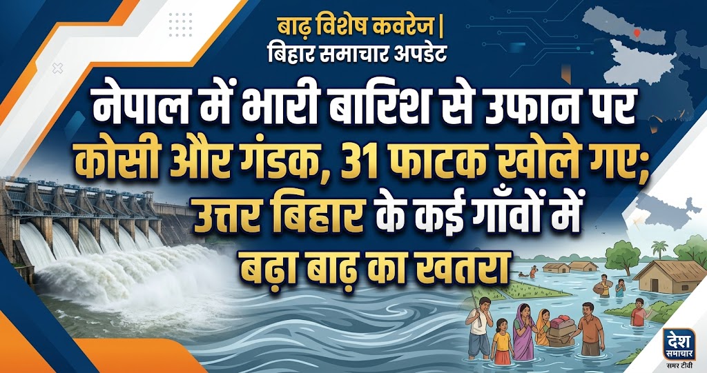
Rising Water Levels in Kosi and Gandak Rivers After Heavy Rainfall in Nepal and Bihar; 31 Barrage Gates Opened, Flood Risk Increases in North Bihar
Patna: Continuous monsoon rainfall in Nepal and various parts of Bihar has led to a sharp rise in the water levels of several major rivers, increasing the flood risk across North Bihar. Over the past 24 hours, heavy rainfall has caused the Kosi, Gandak, and other major rivers to swell, prompting authorities to remain on high alert. The Water Resources Department is closely monitoring the situation, while district administrations have been instructed to stay prepared for any emergency.
Meanwhile, the India Meteorological Department (IMD) has issued a Yellow Alert for several districts of Bihar this week, warning of rainfall, thunderstorms, lightning, and strong winds. Officials have cautioned that continued rainfall could further increase river water levels in the coming days.
Heavy Rainfall in Nepal Impacts Bihar's Rivers
According to experts, rainfall in Nepal's hilly and Terai regions has a direct impact on the rivers flowing into Bihar. Major rivers such as the Kosi, Gandak, Bagmati, Kamla, and Mahananda originate in Nepal before entering Bihar.
With continuous rainfall in Nepal, a large volume of water has been flowing downstream, resulting in rapidly rising river levels. Water has already begun spreading into several riverside villages, raising concerns among local residents.
31 of 56 Gates of Kosi Barrage Opened
To manage the increasing pressure of water, authorities have opened 31 out of the 56 gates of the Kosi Barrage to ensure the safe discharge of excess water.
On Monday morning, nearly 200,000 cusecs of water was released through the barrage. Officials stated that if rainfall continues in Nepal, the discharge may need to be increased further.
Engineers from the Water Resources Department are continuously monitoring the barrage and taking necessary measures to ensure its safe operation.
Increased Water Discharge at Barah Kshetra and Birpur Barrages
According to the Flood Bulletin issued by the Water Resources Department, the discharge at Nepal's Barah Kshetra Barrage increased from approximately 130,000 cusecs on Saturday night to around 150,000 cusecs by Sunday afternoon.
Similarly, water discharge at the Birpur Barrage rose from 160,000 cusecs to nearly 180,000 cusecs. The increasing flow has led to a noticeable rise in water levels downstream.
Gandak River Also Witnessing Rising Water Levels
Along with the Kosi, the Gandak River is also experiencing a steady increase in water level. Authorities are maintaining close surveillance in low-lying areas of West Champaran, East Champaran, Gopalganj, Saran, and Muzaffarpur districts.
Although the river remains below the danger mark at several locations, officials have warned that continued rainfall could worsen the situation in the coming days.
Growing Concern Across North Bihar
Residents of districts including Supaul, Madhepura, Saharsa, Araria, Purnia, Kishanganj, Katihar, East Champaran, West Champaran, Sitamarhi, Madhubani, and Darbhanga have become increasingly concerned as river levels continue to rise.
In some areas, floodwater has begun entering agricultural fields and low-lying villages. Farmers fear that standing paddy, maize, and other Kharif crops may suffer significant damage if water levels continue to increase.
Administration on High Alert
In view of the potential flood situation, the Bihar government has instructed district administrations to remain fully alert.
Officials from the Disaster Management Department, Water Resources Department, and district administrations are continuously monitoring river levels. Rescue teams have been directed to remain prepared for immediate deployment if required.
Authorities have also ensured the availability of boats, relief materials, medicines, food supplies, and other emergency resources to respond quickly in case of flooding.
IMD Issues Yellow Alert
The India Meteorological Department has forecast moderate to heavy rainfall, thunderstorms, lightning, and strong winds of 30–40 km/h in several districts of Bihar during the week.
The weather department has advised people to avoid open fields, tall trees, and electric poles during thunderstorms. Farmers have also been urged to plan agricultural activities according to weather advisories.
Farmers Face Uncertainty
While the ongoing rainfall is expected to benefit paddy cultivation, excessive rain and possible flooding have increased concerns about crop damage.
If floodwater remains in agricultural fields for an extended period, paddy, maize, vegetables, and other Kharif crops could suffer heavy losses.
Public Advised to Remain Vigilant
The administration has urged residents living near rivers to avoid unnecessary movement along riverbanks and to keep children away from flooded areas.
People have been advised to rely only on official updates issued by the administration and to immediately contact local authorities or the Disaster Management Department in case of any emergency.
Relief and Rescue Preparations Intensified
In anticipation of possible flooding, coordination among the National Disaster Response Force (NDRF), State Disaster Response Force (SDRF), and local administration has been strengthened.
Authorities are identifying locations for relief camps and ensuring adequate arrangements for drinking water, medical facilities, food supplies, and fodder for livestock.
Continuous monsoon rainfall in Nepal and Bihar has caused the Kosi, Gandak, and several other rivers to rise significantly, increasing the flood threat across North Bihar. With 31 of the 56 gates of the Kosi Barrage opened and nearly 200,000 cusecs of water being released, authorities remain on high alert. The IMD's Yellow Alert for rain, thunderstorms, and strong winds has further heightened concerns that river levels may continue to rise. The administration has intensified monitoring and emergency preparedness while urging residents to remain cautious, follow official advisories, and avoid unnecessary risks near rivers and flood-prone areas.