

Construction Work on Atarar to Babhangama Ghat Road Resumes; Rural Economy Dependent Exclusively on Rabi Cultivation Between Both Embankments Receives New Momentum
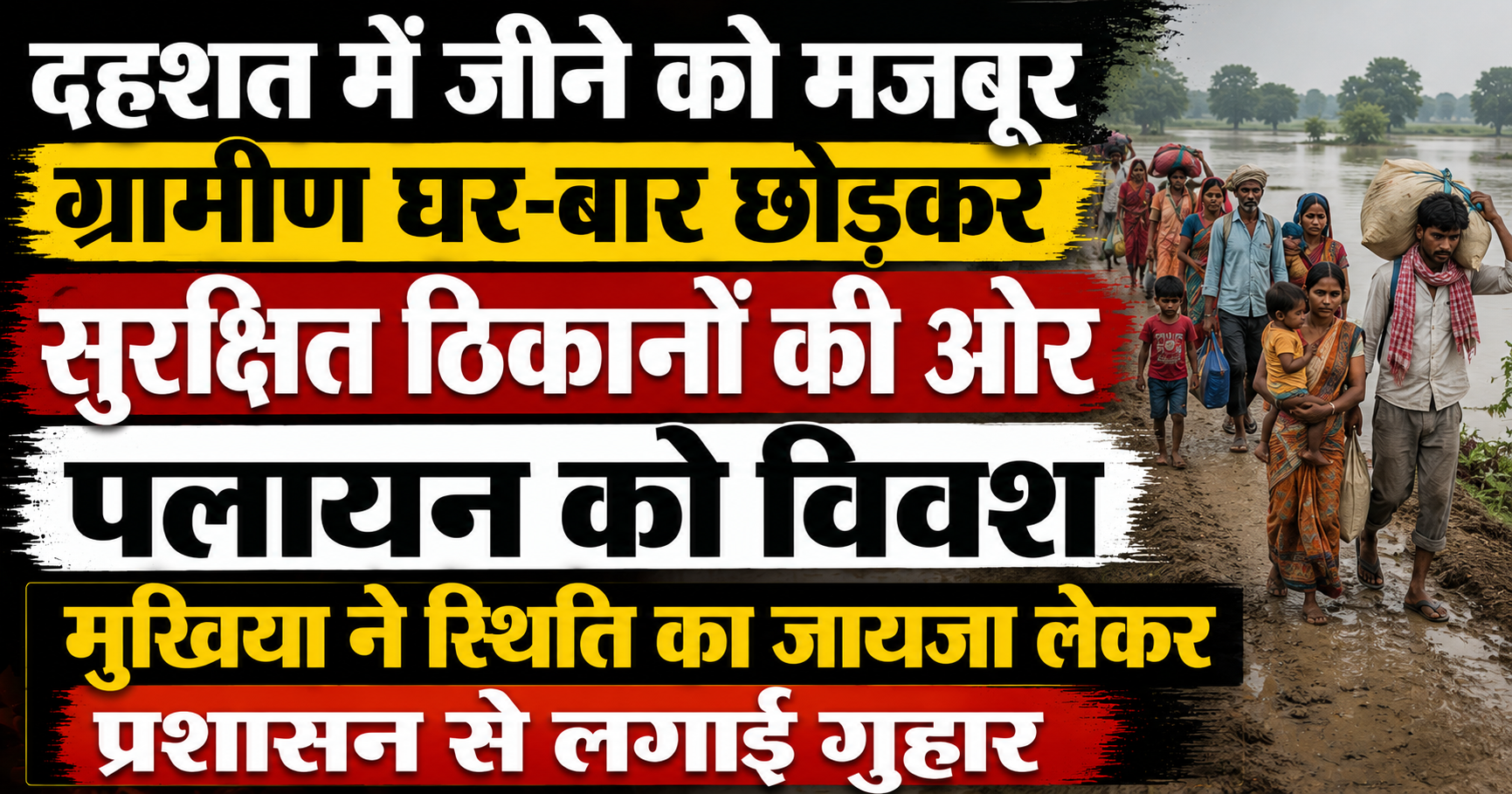
While rivers in Bihar disrupt daily life with their swollen currents during monsoon months, new series of relief and hope also commence as soon as water levels recede. The role of the Bagmati River is considered quite significant in the flood-affected regions of North Bihar. Recently, as a positive change, a notable decline has been recorded in the water level of the Bagmati River, allowing thousands of residents living in coastal areas to breathe a sigh of relief.
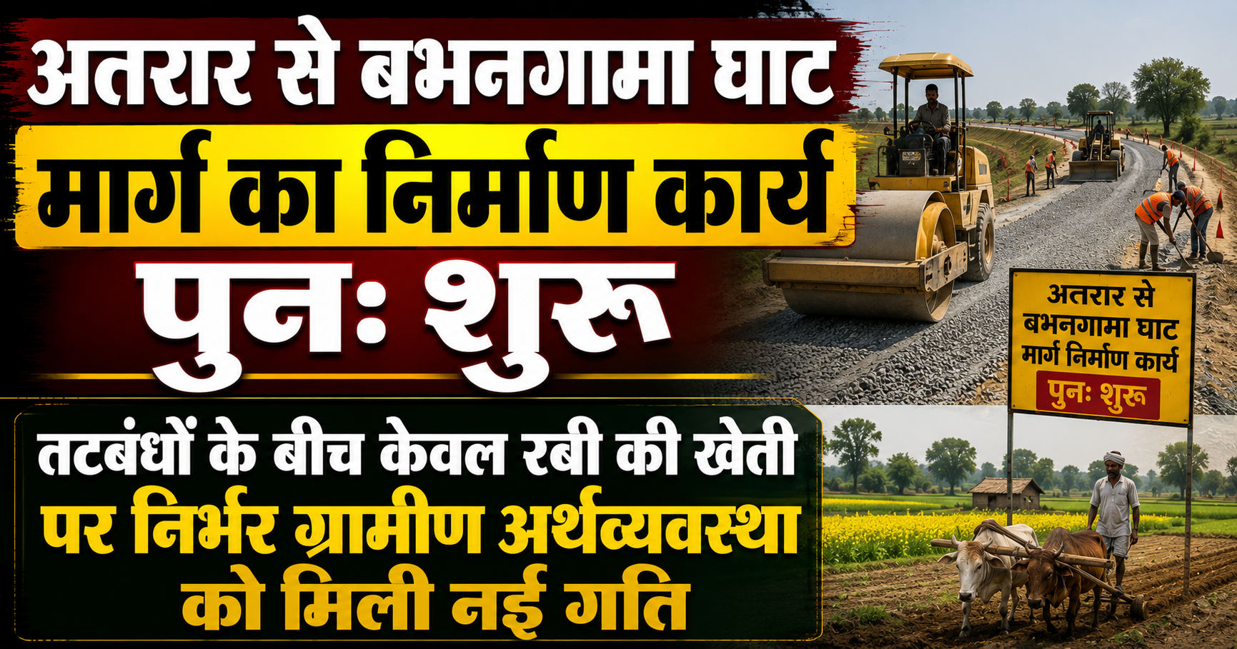
Along with the recession of the water level, developmental work at administrative and local levels has also gained momentum. In this sequence, the construction work of the important road leading from Atarar to Babhangama Ghat has once again resumed smoothly, appearing to resolve the major problem of transit. Concurrently, an interesting and practical picture has emerged regarding the agricultural system between the river's two embankments—where no paddy crop is cultivated during the kharif season in these areas, and instead, the rural economy here is entirely dependent exclusively on Rabi cultivation. Let us analyze in detail the decline in Bagmati's water level, the resumption of road construction, and the agricultural characteristics of this region.
Background: Mood of Bagmati River and Impact of Decline in Water Level
The Bagmati River is known for its swift flow and sudden fluctuations in water level. During the monsoon, when this river flows above the danger mark, connectivity of surrounding villages with the district headquarters is cut off.
Relief Gained from Receding Water Level: In recent days, with rainfall stopping in catchment areas and a decrease in water levels, Bagmati's water has begun confining itself to its designated channel. With water receding, people living inside embankments and low-lying areas have been liberated from floodwater, allowing the pace of their daily lives to return to track.
Tension-Free Villagers: In areas where water was visible everywhere on all sides until a few days ago, the emergence of land now allows a sense of calm to be clearly seen on people's faces. Transit routes are beginning to open, and commercial activities are also gradually normalizing.
Development of Infrastructure: Work on Atarar to Babhangama Ghat Route Commences
Damage to roads and filling up with mud during flood days is a common problem, but repair and construction work accelerates as soon as the water level drops.
Significance of the Route: The road connecting Atarar to Babhangama Ghat is like a lifeline for the residents of this region. Through this route, villagers conveniently reach main markets and other areas.
Resumption of Construction Work: After the water receded and the soil dried up, the stalled work of construction and repair of this road has been resumed once again. Considerable enthusiasm prevails among locals due to the commencement of construction work, as they hope to soon receive a paved and smooth route, eliminating obstacles in transit forever.
Unique Picture of Agricultural System: Exclusive Rabi Cultivation Between Embankments
The geographical and agricultural topography of the land (diara land) between both embankments of the Bagmati River possesses its own distinct specificity.
Absence of Paddy Cultivation: Unlike regular land, paddy crops are not cultivated during the kharif season, meaning during the monsoon, in these areas. The primary reason for this is that standing water or swift flow remains on these low-lying lands during the rainy season and flood period, posing a risk of complete destruction to the paddy crop.
Complete Dependence on Rabi Crops: When floodwater recedes and winters set in, the actual phase of agriculture begins in these fertile loamy soil regions. Farmers here depend entirely on Rabi cultivation (such as wheat, pulses, oilseeds, and maize, etc.). Taking advantage of the moisture left behind after water recession, farmers grow bumper Rabi crops, which serve as the main basis of their livelihood.
Rural Economy and Future Hopes
The decline in Bagmati's water level and road construction have provided a fresh cushion to the rural economy of this region.
Boosting the Economy: The resumption of road construction will facilitate transporting agricultural produce to mandis (markets), enabling farmers to secure a fair price for their yield.
Need for Administrative Vigilance: Local residents believe that if flood protection and basic road development work are carried out in a timely manner, their lives can become even smoother.
The decline in the Bagmati River's water level and the commencement of construction work on the road leading from Atarar to Babhangama Ghat represent highly relieving news for this region. On one hand, the threat of floods has receded with the dropping water level, while on the other hand, infrastructure development has given wings to hopes. Furthermore, this unique agricultural system based exclusively on Rabi cultivation between the embankments demonstrates that local residents are shaping their livelihoods by adapting to nature's cycle. If administrative cooperation and developmental works continue in a similar fashion, this region can become even more economically prosperous.